File:Iceberg with hole near Sandersons Hope 2007-07-28 2.jpg
原本檔案 (2,048 × 1,176 像素,檔案大細:494 KB ,MIME類型:image/jpeg)
摘要
| 描述 | |
| 日期 | |
| 來源 | Self-photographed |
| 作者 | Kim Hansen |
| Other versions |
|


| Camera location | | View this and other nearby images on: OpenStreetMap |
|---|
|

|
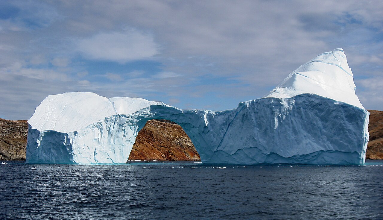
This is one of the images forming part of the Valued image set: The deterioration of an iceberg on Wikimedia Commons. The image set has been assessed under the valued image set criteria and is considered the most valued set on Commons within the scope:
The deterioration of an iceberg
You can see its nomination at Commons:Valued image candidates/Iceberg deterioration. |
協議
I, the copyright holder of this work, hereby publish it under the following licenses:

|
根據自由軟體基金會發佈嘅無固定段落、封面文字同封底文字GNU自由文件授權條款第1.2或打後嘅版本,你獲授權可以重製、散佈同埋修改爾份文件。授權條款嘅副本喺章節GNU自由文件授權條款。 |
This file is licensed under the Creative Commons Attribution-Share Alike 3.0 Unported, 2.5 Generic, 2.0 Generic and 1.0 Generic license.
- 你可以:
- 去分享 – 複製、發佈同傳播呢個作品
- 再改 – 創作演繹作品
- 要遵照下面嘅條件:
- 署名 – 你一定要畀合適嘅表彰、畀返指向呢個授權條款嘅連結,同埋寫明有無改過嚟。你可以用任何合理方式去做,但唔可以用任何方式暗示授權人認可咗你或者你嘅使用方式。
- 相同方式分享 – 如果你用任何方式改過呢個作品,你必須要用返原本或者相似嘅條款發佈。
你可以揀你想用嘅牌照。
檔案歷史
撳個日期/時間去睇響嗰個時間出現過嘅檔案。
| 日期/時間 | 縮圖 | 尺寸 | 用戶 | 註解 | |
|---|---|---|---|---|---|
| 現時 | 2007年10月2號 (二) 20:14 |  | 2,048 × 1,176(494 KB) | Slaunger | Another angle |
檔案用途
以下嘅1版用到呢個檔:
全域檔案使用情況
下面嘅維基都用緊呢個檔案:
- af.wiki.x.io嘅使用情況
- ar.wiki.x.io嘅使用情況
- ماء
- كيمياء
- بوابة:ماء
- جليد
- ويكيبيديا:صور مختارة/أماكن/مناظر طبيعية
- بوابة:ماء/واجهة
- بوابة:الكيمياء/صورة مختارة/أرشيف
- ويكيبيديا:ترشيحات الصور المختارة/الماء في حالاته الثلاث
- ويكيبيديا:صورة اليوم المختارة/فبراير 2019
- قالب:صورة اليوم المختارة/2019-02-05
- بوابة:الكيمياء/صورة مختارة/16
- ويكيبيديا:صورة اليوم المختارة/مارس 2021
- قالب:صورة اليوم المختارة/2021-03-02
- قالب:قطعة/ملعب
- قالب:صورة اليوم المختارة/2024-04-13
- arz.wiki.x.io嘅使用情況
- as.wiki.x.io嘅使用情況
- bcl.wiki.x.io嘅使用情況
- bg.wiki.x.io嘅使用情況
- blk.wiki.x.io嘅使用情況
- bn.wiki.x.io嘅使用情況
- bo.wiki.x.io嘅使用情況
- bs.wiki.x.io嘅使用情況
- bxr.wiki.x.io嘅使用情況
- ckb.wiki.x.io嘅使用情況
- crh.wiki.x.io嘅使用情況
- cv.wiki.x.io嘅使用情況
- da.wiki.x.io嘅使用情況
- de.wiki.x.io嘅使用情況
- de.wikivoyage.org嘅使用情況
- el.wiki.x.io嘅使用情況
- en.wiki.x.io嘅使用情況
- User:Slaunger
- User talk:Slaunger
- Wikipedia:Featured pictures thumbs/11
- Wikipedia:Wikipedia Signpost/2008-04-14/Features and admins
- Wikipedia:Featured picture candidates/Image:Iceberg with hole near sanderson hope 2007-07-28 2.jpg
- Wikipedia:Featured picture candidates/April-2008
- Wikipedia:Featured pictures/Natural phenomena/Others
- User talk:Avraham/Archive 26
- User:Carcharoth/Arctic articles
睇呢個檔案嘅更多全域使用情況。